Prestige Camden Gardens Map
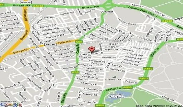
Prestige Camden Gardens Maps helps to identify the project easily and displays the neighbourhood around the project. It also shows how the project connects with all needed nearby features easily.
The map shows that the project has a strong infrastructure with a lot of schools, shopping areas, parks, malls and colleges. Due to the fast growth of the IT hubs in the area, the location has become a thriving place for many people.
Prestige Camden Gardens Maps show the project's connectivity through all modes of transport. The nearby bus stands, train stations, metro stations and airport route to Prestige Camden Gardens are
Key features of the project:
| Type | Area | Approximate Maintenance Charges |
| 1 BHK | 660 sq ft | Rs. 5000 to Rs. 7000 |
| 2 BHK | 1040 to 1175 sq ft | Rs. 7600 to Rs. 10,000 |
| 3 BHK | 1430 sq ft to 1480 sq ft | Rs. 9200 to Rs. 12,000 |
| 4 BHK | 2100 sq ft | Rs. 12,000 to Rs. 16,000 |
Road Connectivity of Prestige Camden Gardens
Prestige Camden Gardens has good road access to all areas of the city through roads that include Outer Ring Road, Mysore Road, and Kanakapura Road. The Thanisandra bus stop is the nearest bus stand to the project at a distance of 4.5 km from the project.
Metro Connectivity of Prestige Camden Gardens
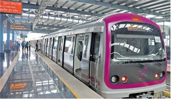
The project has a good metro network and provides easy connectivity to the major stations of the Green Line of the metro.
The nearest metro stations to the project include
- Baiyappanahalli Metro Station, which is 14.9 km from the project
- Swami Vivekananda Road Metro Station, which is 14.7 km from the project
Rail Connectivity of Prestige Camden Gardens
The project location connects to the prime railway stations of the city, which includes
- Banaswadi Railway station at a distance of 11.3 km
Air Connectivity of Prestige Camden Gardens
The project location offers easy access to the airport through NH 44 and Outer Ring Road.
- Kempegowda Airport at a distance of 21.5 km
The map of Prestige Camden Gardens also shows how the nearby hospitals, IT parks, malls, schools, and colleges.
IT Parks near Prestige Camden Gardens
- Global Tech Park – 17.2 km
- Rajaji Nagar IT park – 22 km
- Bagmane Tech Park – 17 km
- Brigade Software Park – 27.3 km
- IBC Knowledge Park – 20.6 km
Hospitals near Prestige Camden Gardens
- Regal Hospital – 1.2 km
- Sevakshethra Hospital – 26.5 m
- Altius Hospitals – 22 km
- BMS Hospital – 24.9 km
- D G Hospital – 27.5 km
- Sagar Hospitals – 21.3 km
- Lifecare Hospital – 28 km
Schools near Prestige Camden Gardens
- Vidyaanjali School – 8.2 km
- Sindhi High School - 9.6 km
- Jain Heritage School - 8.8 km
- Sri Chaitanya Techno School - 12 km
- Rashtrotthana Vidya Kendra - 2.9 km
- The Indian Public School - 7.2 km
- Broadvision World School - 7.5 km
Shopping centres near Prestige Camden Gardens
- Sri Garuda Swagath Mall – 22.1 km
- Forum Mall – 21.2 km
- Vega City Mall – 23.6 km
- Gopalan Promenade Mall – 27 km
- SRP Arcade – 27.5 km
- Royal Meenakshi Mall – 27.2 km
All these neighbourhood shown in the Prestige Camden Gardens Map helps buyers get a clear understanding of the project's neighbourhood.
| Enquiry |
